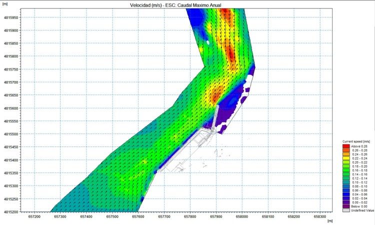
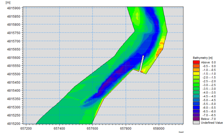
After carrying out a bathymetry of the area where the construction of the launching ramp and its immediate surroundings was planned, a finite mesh model was built to simulate the real bathymetry of the estuary.
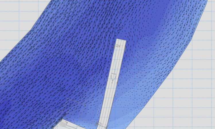
Generically, standard studies of coastal transport capacity take cross-sectional profiles as a reference and compare longitudinal and transverse transport section by section. However, in this case, we have chosen to develop the bathymetric model and then implement it in the MIKE 21 software. Flexible Mesh Mud Transport the simulation of sediment transport, so as to allow the analysis of transport capacity on a point-by-point, not stretch-by-span, basis. Specifically, we have used the HD FM model, which allows us to calculate the current generated by any cause, and in particular by wind, wave break and tide, and the ST FM model, which is a deterministic solid transport model with a morphodynamic submodule that allows us to calculate the variation of bathymetry, thus finally obtaining a time series of variations.